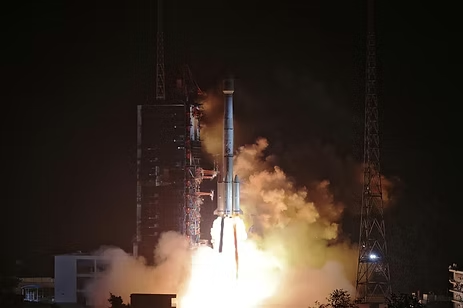
Alternate to GPS – China’s BeiDou navigation system starts global service.
China’s BeiDou navigation system starts global service. Two […]
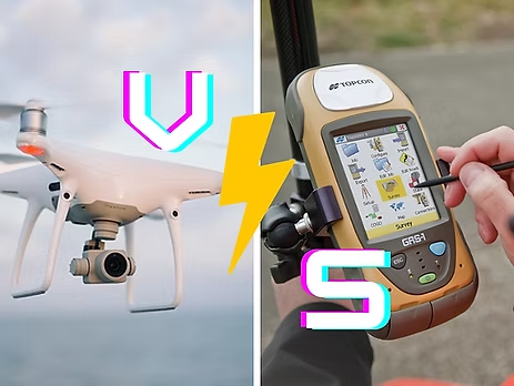
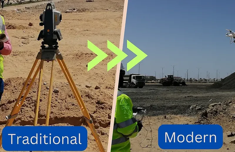
Drone versus GPS/GNSS-RTK/Total Station Based Topographic Survey, which one to choose?
A #topographic #survey is an integral component in […]

Drone + Artificial Intelligence (AI) Based Wind Turbine Inspection Webinar
AZ NavTeq in joint collaboration with Aero Enterprise […]
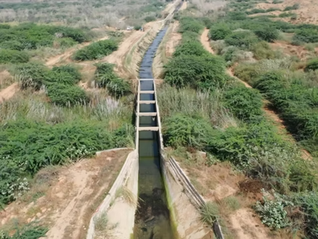
Unlock the Power of Drones: Revolutionize Your Topographic Surveys
In today’s rapidly evolving world of surveying and […]
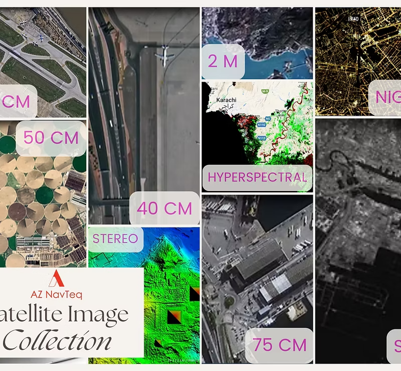
Revolutionizing Urban Planning & Disaster Management: Satellite Images in Pakistan
In today’s technologically advanced era, satellite imagery has […]

Unlocking Precision without Compromise: Drone Based Survey Approach
In the dynamic landscape of surveying and mapping, […]
Revolutionizing Mineral Deposit Volume Estimation with Drone-Based Surveying and Mapping
In the dynamic world of industrial operations, accurate […]
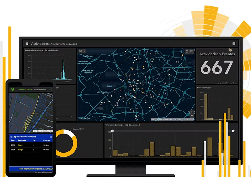
Make Quick Decisions with ArcGIS Dashboards: Monitor People, Services, Assets, and Events in Real Time and on a Single Screen
In today’s data-driven world, organizations are overwhelmed by […]