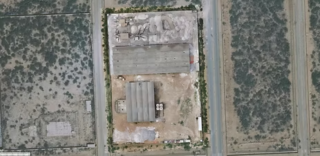
How Accurate is the Land Surveying Using Drones
A Centimeter Level Detailed Land Survey of a […]
Smart Urban Planning with High Resolution Satellite Imagery
Urban planning covers both the development of open […]

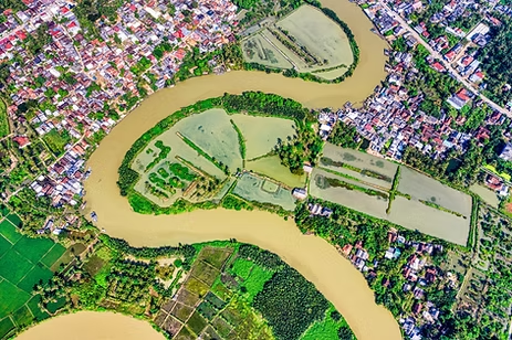
An immersive VR experience built with photogrammetry
Tropical Jeju Island is a beloved tourist destination. […]
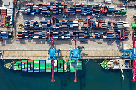
Are drones the future of marine surveying?
Under the contract, drones will be used to […]
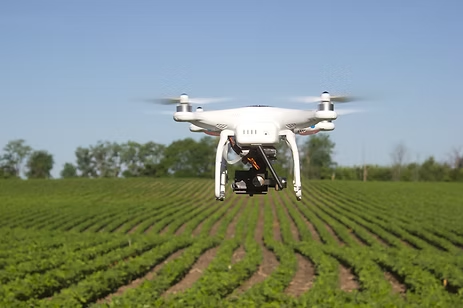
Six Ways Drones Are Revolutionizing Agriculture
Drones aren’t new technology by any means. Now, […]
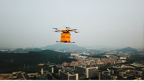
DHL Express and EHang Partner to Bring Last-Mile Drone Delivery to China
DHL Express and EHang are working together to […]
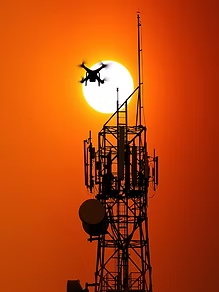
Drones to Inspect Telecommunications Towers
Drones have become an integral part of our […]
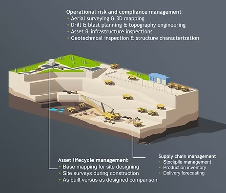
Drones take off in Ukraine’s mining industry
In an effort to improve worker safety and […]
PwC’s first drone stock audit completed 85% faster
In a global first for the network, PwC […]

A New Arena, Demanding Higher Integrity of Digital Maps
Photo: ©GSA Digital maps are an essential building […]