How Accurate is the Land Surveying Using Drones
A Centimeter Level Detailed Land Survey of a […]

An immersive VR experience built with photogrammetry
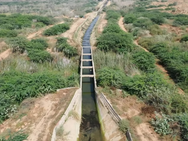
Tropical Jeju Island is a beloved tourist destination. […]
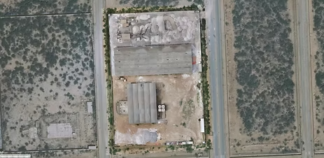
Drones take off in Ukraine’s mining industry
In an effort to improve worker safety and […]

A New Arena, Demanding Higher Integrity of Digital Maps
Photo: ©GSA Digital maps are an essential building […]
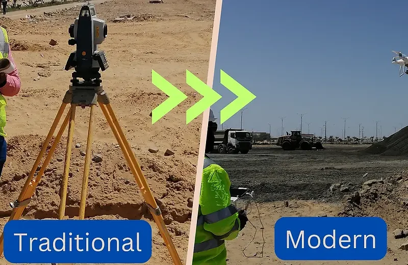
Unlock the Power of Drones: Revolutionize Your Topographic Surveys
In today’s rapidly evolving world of surveying and […]
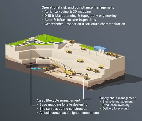
Revolutionizing Mineral Deposit Volume Estimation with Drone-Based Surveying and Mapping
In the dynamic world of industrial operations, accurate […]