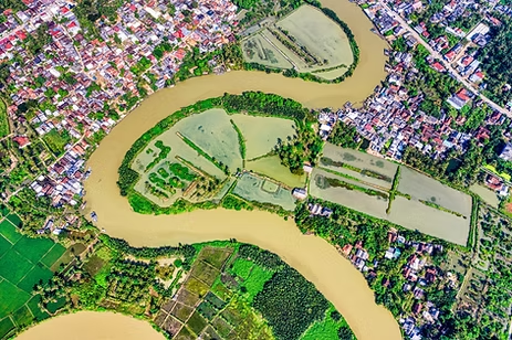
Smart Urban Planning with High Resolution Satellite Imagery
Urban planning covers both the development of open […]
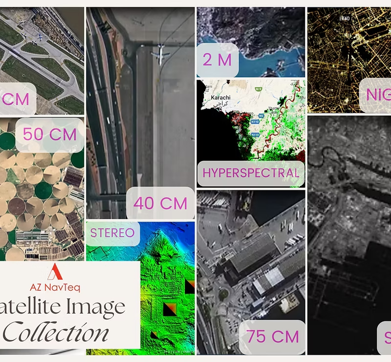
Revolutionizing Urban Planning & Disaster Management: Satellite Images in Pakistan
In today’s technologically advanced era, satellite imagery has […]