
Alternate to GPS – China’s BeiDou navigation system starts global service.
China’s BeiDou navigation system starts global service. Two […]
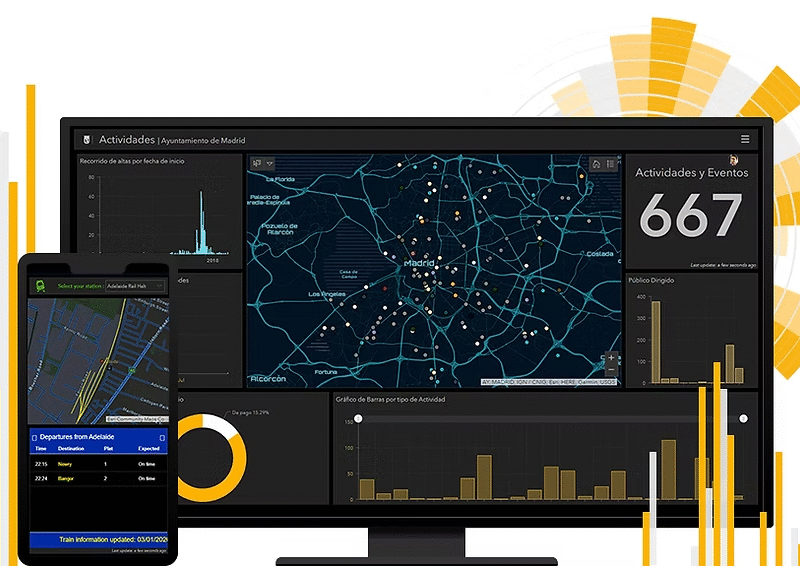
Make Quick Decisions with ArcGIS Dashboards: Monitor People, Services, Assets, and Events in Real Time and on a Single Screen
In today’s data-driven world, organizations are overwhelmed by […]