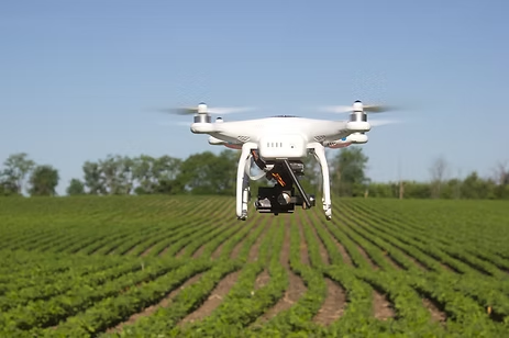
Six Ways Drones Are Revolutionizing Agriculture
Drones aren’t new technology by any means. Now, […]
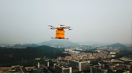
DHL Express and EHang Partner to Bring Last-Mile Drone Delivery to China
DHL Express and EHang are working together to […]

Drone + Artificial Intelligence (AI) Based Wind Turbine Inspection Webinar
AZ NavTeq in joint collaboration with Aero Enterprise […]

Unlocking Precision without Compromise: Drone Based Survey Approach
In the dynamic landscape of surveying and mapping, […]