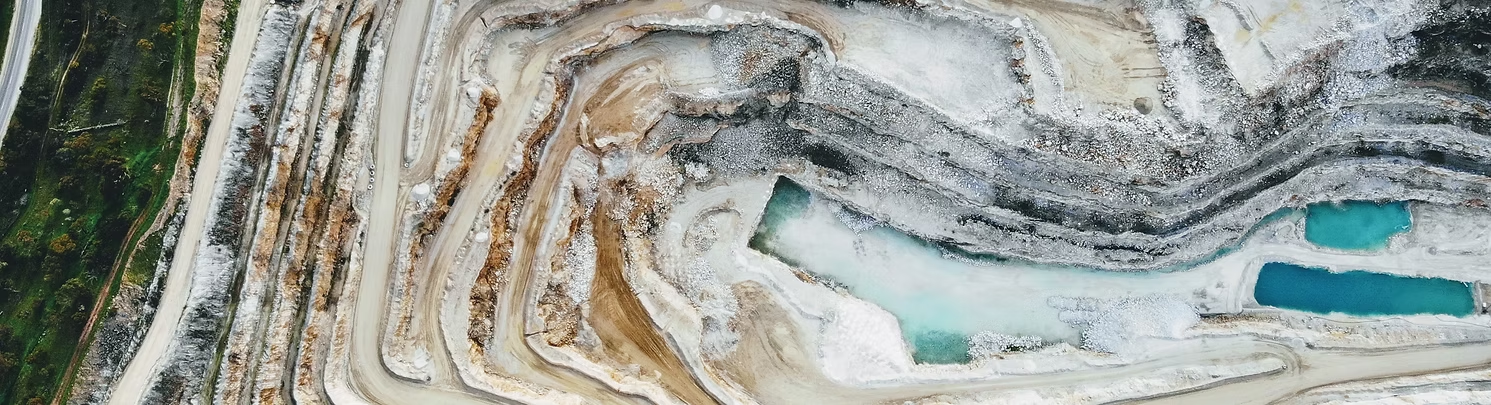
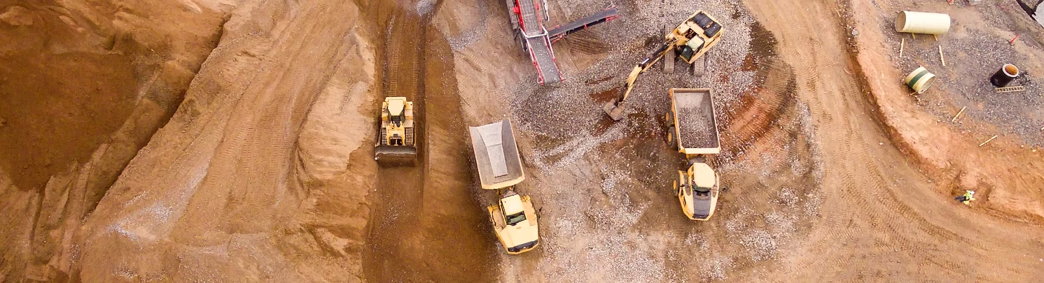

Stockpile Volume
Optimize your stockpile management with our advanced drone and photogrammetry solutions. Our remote-operated drones ensure enhanced safety and deliver precise, real-time volume measurements. By accurately tracking your current inventory, you’ll minimize pilferage, reduce operational costs, and maximize returns. Experience fast, accurate, and cost-effective stockpile volume measurements with AZ NavTeq, improving efficiency and decision-making for your business. Trust us to provide comprehensive and reliable data tailored to your specific needs.
- Quick Survey
- Accurate Results
- Better Inventory Management
- Human Safety
We do things differently
At AZ NavTeq, we approach stockpile volume measurement differently — combining drone-based photogrammetry with advanced 3D modeling techniques to deliver highly accurate, fast, and cost-effective results. Our precision-driven process eliminates the errors of traditional surveying methods by capturing detailed aerial imagery and converting it into precise volumetric data. Whether you manage mining sites, construction materials, or industrial stockyards, we provide reliable volume calculations, visual reports, and trend analysis that empower smarter inventory control and operational efficiency.
- Drone-Based Photogrammetry
- High-Accuracy 3D Volume Calculations
- Fast Data Capture & Processing
- Safe, Non-Contact Measurement Method
- Detailed Visual & Analytical Reports
- Cost-Effective Stockpile Management Solutions
Frequently Asked Questions
Drone-based stockpile volume measurement uses aerial photogrammetry and 3D modeling to calculate the precise volume of stockpiled materials such as sand, gravel, or minerals – with greater speed and accuracy than traditional methods.
AZNavTeq’s drone surveys deliver centimeter-level accuracy, ensuring dependable volume calculations for reporting, auditing, and inventory management purposes.
Our stockpile measurement solutions are ideal for mining, construction, cement, aggregates, logistics, and industrial storage sectors that rely on precise material tracking and volume analysis.
Getting started is easy – simply contact our team or request a free consultation. We’ll review your site requirements and plan an efficient, safe, and accurate drone-based survey for your project.