Skip to content
AZ NavTeq
Drone | RS Satellite | GIS Services | Geospsatial
Main Menu
Home
Services
Surveying & Mapping
GIS & Asset Management
Drone Based Inspection
Hi-Res Satellite Imagery
Stockpile Volume
Marine Engg & Surveys
Blogs
About
Contact
Scalable Business for Startups
Get the oars in the water and start rowing. Execution is the single biggest factor in achievement so the faster and better your execution.
Contact Details
info@aznavteq.com
+92-21-34810022
Karachi, Pakistan
Search here...
Search
Blogs
Home
Blogs
Surveying & Mapping
How Accurate is the Land Surveying Using Drones
Oct 29, 2025
Satellite Imagery
Smart Urban Planning with High Resolution Satellite Imagery
Oct 29, 2025
Surveying & Mapping
An immersive VR experience built with photogrammetry
Oct 29, 2025
Marine Engineering & Surveys
Are drones the future of marine surveying?
Oct 29, 2025
Drone Inspections
Six Ways Drones Are Revolutionizing Agriculture
Oct 29, 2025
Drone Inspections
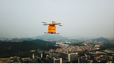
DHL Express and EHang Partner to Bring Last-Mile Drone Delivery to China
Oct 29, 2025
Uncategorized
Drones to Inspect Telecommunications Towers
Oct 29, 2025
Surveying & Mapping
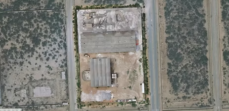
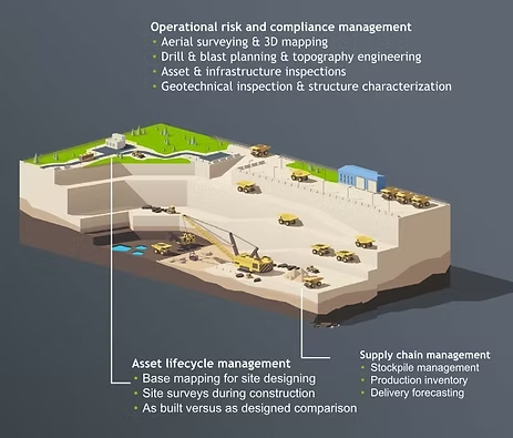
Drones take off in Ukraine’s mining industry
Oct 29, 2025
Stockpile Measurement
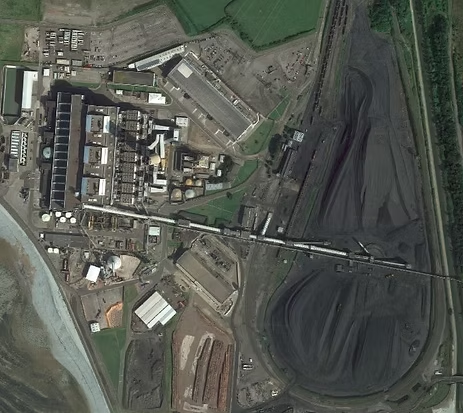
PwC’s first drone stock audit completed 85% faster
Oct 29, 2025
Surveying & Mapping
A New Arena, Demanding Higher Integrity of Digital Maps
Oct 29, 2025