
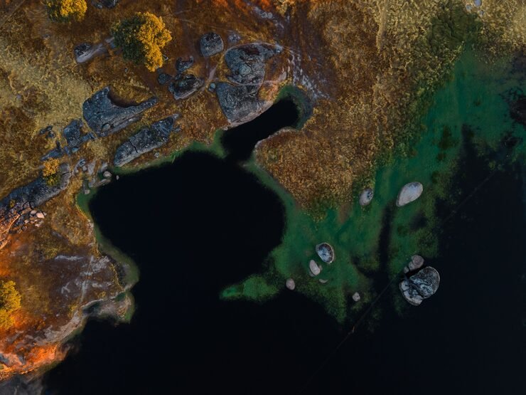
Hi Resolution Satellite Imagery
We provide high-resolution satellite imagery with an exceptional clarity of up to 0.5 meters, available for both new tasking and archival purposes. Our offerings include various formats, such as optical data, Near-Infrared (NIR), video, C-band, and hyperspectral imagery, making them suitable for a wide range of geospatial applications. Whether for land cover mapping, pipeline monitoring, urban planning, or disaster management, our satellite imagery delivers valuable insights that empower you to make informed decisions and drive project success. With our commitment to quality and precision, you can trust AZNavTeq to support your geospatial needs effectively.
- Land Cover Mapping
- Infrastructure Planning & Monitoring
- Ocean Monitoring
- Mining & Pipeline Monitoring
We do things differently
At AZ NavTeq, we do satellite imagery differently — combining high-resolution data with intelligent geospatial analysis to deliver meaningful insights, not just images. Our satellite solutions provide optical, NIR, C-band, and hyperspectral data with resolutions up to 0.5 meters, enabling unmatched clarity for mapping, monitoring, and analysis. We focus on accuracy, customization, and timely delivery, helping industries like agriculture, environmental management, and urban planning make smarter, data-driven decisions. With AZNavTeq, you don’t just see the surface — you understand it in detail.
- Ultra-Clear Imagery
- Custom Data Processing & Analysis
- Multiple Data Types Available
- Wide Range of Applications
- Expert Support
- Fast Delivery
Frequently Asked Questions
High-resolution satellite imagery provides detailed views of the Earth’s surface, allowing for accurate mapping, analysis, and monitoring. Itâs essential for industries that require precise spatial data, such as agriculture, environmental management, and infrastructure development.
Our imagery supports land use planning, crop health monitoring, environmental studies, disaster assessment, and asset tracking, offering valuable insights for smarter decision-making and operational efficiency.
Unlike standard providers, AZNavTeq delivers processed, analysis-ready satellite data with customized visualization, georeferencing, and interpretation support. Our focus on precision and project-specific solutions ensures every client gets meaningful, actionable insights.
Getting started is simple – just contact our team or request a free consultation through our website. Weâll help you identify the best satellite data and analysis approach for your projectâs goals.